GEOTECHNICAL ENGINEERING1
CHRISTCHURCH
HomeUnderground ExcavationsGeotechnical excavation monitoring

Geotechnical Excavation Monitoring in Christchurch: Why Standard Checks Often Fall Short

Sound ground. Sound decisions.

LEARN MORE

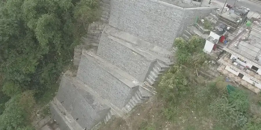
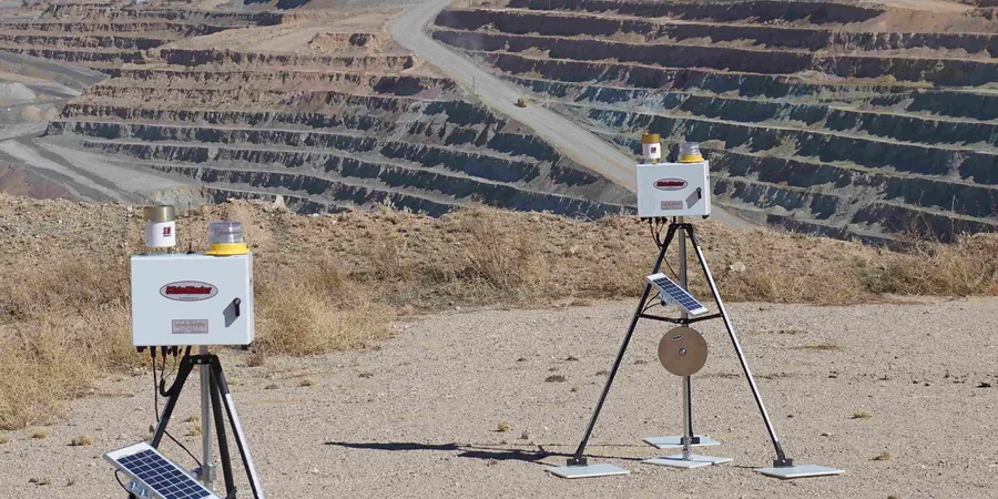
We have seen it too many times across Christchurch sites—contractors relying on a single pre-dig investigation and then watching the trench walls start to ravel when they hit an unconfined sand lens nobody mapped. The Canterbury Plains are not uniform. Under the gravels that appear in the west, you quickly run into the Riccarton Gravel formation and then the Christchurch Formation’s interbedded sands, silts, and peats that still hold elevated groundwater from the 2010-2011 sequence. A static design assumption stops being valid the moment the bucket cuts into a layer with different pore pressure. Our monitoring approach embeds real-time piezometers, inclinometers, and survey prisms into a single observation plan so you know when the ground is behaving differently than the model predicted. Many jobs benefit from pairing this with a detailed CPT test to confirm the stratigraphy before the dig enters a critical phase, or a slope stability assessment when the excavation borders a public road.

Monitoring is not about collecting data—it is about catching the moment when the ground stops matching the geotechnical model, and acting before anyone notices a crack.

Our service areas

Methodology and scope

One thing you learn working in Christchurch is that the groundwater table can shift several metres seasonally, and even more after a moderate shake. We often see contractors surprised when a sump that worked fine in February overflows in July, not because of rainfall alone but because the artesian component in the confined aquifers responds to regional recharge. That is why our monitoring programs always include standpipe and vibrating-wire piezometers placed at multiple depths, not just at the excavation base. We also run automated total-station arrays on the surrounding buildings, because the combination of liquefiable lenses and shallow footings in suburbs like Addington or Linwood means settlement can appear 15 metres from the cut face. The data feeds into a cloud dashboard that both the superintendent and the earthworks crew can check before the morning pre-start. When shoring loads start drifting upward, we cross-reference the inclinometer readings with the deep excavation design assumptions so adjustments happen before a strut buckles.
Geotechnical Excavation Monitoring in Christchurch: Why Standard Checks Often Fall Short
Technical reference — Christchurch

Local considerations

Christchurch rebuilt fast after the earthquakes, but the legacy of that rebuild is a patchwork of ground conditions that can catch even careful contractors. Whole blocks in the central city were compacted, re-leveled, or had deep-soil mixing applied, while the neighbouring site might still sit on loose, saturated silts that were never treated. When you dig a basement three storeys deep between two existing buildings, you inherit both the soil profile and the disturbance history. The biggest risk is not a sudden collapse—it is a slow, undetected movement that cracks a party wall or severs a fibre duct, triggering a claim that takes months to resolve. The Canterbury Geotechnical Database holds useful pre- and post-quake CPT logs, but they are no substitute for live instrumentation on your own site. We have seen inclinometer data reveal a shear plane activating at just 40% of the predicted depth, simply because a thin peat seam was missed in the desktop study.

Need a geotechnical assessment?

Reply within 24h.

Email: contact@geotechnical-engineering1.co

Applicable standards

NZS 3910:2013 (Conditions of contract for building and civil engineering – monitoring obligations), NZS 4404:2010 (Land development and subdivision infrastructure – earthworks compliance), NZGS Guideline for Instrumentation and Monitoring in Geotechnical Engineering (2016), MBIE/MfE Guidance on managing groundwater in excavations, post-Canterbury earthquakes, ASTM D6230-13 (Standard guide for monitoring ground movement using inclinometers)

Technical parameters

ParameterTypical value
Typical monitoring duration for a 6 m cut in Christchurch Formation soils4 to 12 weeks, extended if groundwater seasonality is a factor
Inclinometer casing depth below excavation baseMinimum 3 m into competent stratum, often 5 m where liquefiable lenses exist
Piezometer types deployedStandpipe (shallow), vibrating-wire (multi-level), and pneumatic where access is confined
Survey prism accuracy±1 mm + 1 ppm, referenced to stable benchmarks outside the zone of influence
Trigger thresholds (typical)Settlement >10 mm or rate >2 mm/day; lateral movement >0.05% of excavation height
Reporting frequency during active diggingDaily summary with trend plots; immediate alert if any instrument exceeds amber threshold

Frequently asked questions

What is the typical cost range for excavation monitoring on a medium-sized Christchurch commercial site?

For a typical commercial dig lasting 6 to 10 weeks, with inclinometers, three piezometer stations, and a set of building prisms, the programme usually falls between NZ$1,480 and NZ$4,720 depending on the number of instruments, access constraints, and reporting frequency. We provide a fixed-scope proposal after walking the site and reviewing the ground investigation reports, so you know the total before mobilisation.

How does post-earthquake groundwater behaviour affect monitoring in Christchurch?

The Canterbury earthquake sequence changed the regional groundwater regime. Confined aquifers that previously had stable artesian heads now fluctuate more widely, and some parts of the city see seasonal water-level swings of over a metre that were not present before 2010. Our monitoring deliberately places piezometers at multiple depths to separate shallow perched water from deeper confined responses, which is essential for predicting base stability as the dig progresses.

Do you need to stop work every time a reading crosses a threshold?

Not necessarily. The trigger system uses amber and red levels. Amber means the movement is above the expected trend but not yet at a safety-critical value—work can usually continue, but we increase the reading frequency and the engineer reviews the situation the same day. Red means stop and investigate. Most projects hit an amber trigger once or twice, and it rarely causes more than a brief pause while we confirm the cause.

Location and service area

We serve projects across Christchurch and its metropolitan area.

View larger map