GEOTECHNICAL ENGINEERING1
CHRISTCHURCH
HomeSlopes & WallsSlope stability analysis

Slope Stability Analysis in Christchurch: Mitigating Landslide and Seismic Risk on the Port Hills

Sound ground. Sound decisions.

LEARN MORE

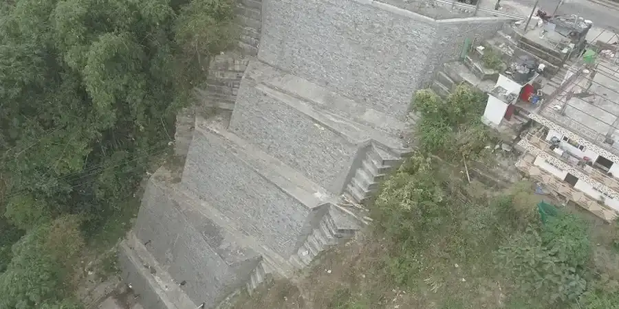
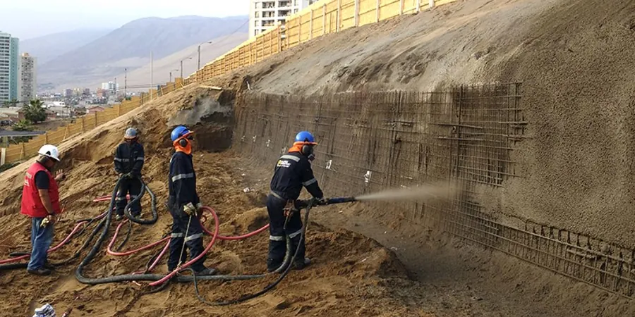
A developer in Sumner recently discovered tension cracks behind a planned building platform after heavy autumn rains saturated the loess colluvium. That kind of surprise stops projects cold. Slope stability analysis on the Port Hills and Banks Peninsula margins requires more than a textbook factor of safety. The 2011 Canterbury earthquake sequence rewrote the rulebook here, triggering mass movements in loess and weathered basalt that had been stable for decades. We combine site-specific seismic refraction surveys with limit-equilibrium modelling to capture the influence of both static groundwater and dynamic shaking on local slopes. For sites in the Christchurch City Council Hill Slope Hazard Area, the assessment must demonstrate compliance with NZGS guidelines and the Canterbury Regional Policy Statement, and we integrate deep excavation analysis where cut-and-fill earthworks are proposed to reshape the terrain.

The Port Hills loess can lose over 60% of its apparent cohesion upon saturation, making seasonal groundwater monitoring essential for any meaningful stability assessment in Christchurch.

Our service areas

Methodology and scope

Fieldwork typically begins with a tracked CPT rig working across the slope to map colluvial depth, followed by hand-augered test pits logged to the NZGS soil classification system. We sample the Port Hills loess — a silty, metastable material with a notorious collapse potential when wetted — and run multistage consolidated-undrained triaxial tests to define peak and residual strength envelopes. Limit-equilibrium modelling in Slide2 or Slope/W then iterates through circular and block failure surfaces, with pore-pressure ratios calibrated to rainstorm scenarios measured at the Botanic Gardens weather station. The output is a stability map overlain on a UAV orthomosaic, showing factors of safety for static, seismic, and post-earthquake conditions. Every model is peer-reviewed against the Canterbury Geotechnical Database before we finalize the geotechnical design report.
Slope Stability Analysis in Christchurch: Mitigating Landslide and Seismic Risk on the Port Hills
Technical reference — Christchurch

Local considerations

The loess-mantled slopes of the Port Hills present a textbook case of rainfall-triggered instability. Christchurch sits at the boundary of the Pacific and Australian plates, and the 2010–2011 seismic sequence produced horizontal accelerations that exceeded 1.0g at some ridge-crest stations. Shallow flow slides in loess, deep-seated rotational failures in the underlying volcanic breccia, and rockfall from the basalt outcrops all feature in the council's slope hazard register. Ignoring slope stability here is not a paperwork risk — it is a life-safety and insurability risk. EQC and private insurers now routinely request site-specific stability reports before issuing cover for hillside dwellings. Our analysis addresses the full hazard chain: triggering rainfall thresholds, seismic amplification at ridge sites, and the potential for retrogression that could undermine neighbouring properties.

Need a geotechnical assessment?

Reply within 24h.

Email: contact@geotechnical-engineering1.co

Applicable standards

NZS 3404:1997 (Steel Structures — seismic provisions applicable to retaining elements), NZS 4203:1992 (General structural design and design loadings — superseded but still referenced in legacy slope works), NZGS (2005) Guideline for the Field Classification of Soil and Rock in New Zealand, Canterbury Regional Policy Statement — Chapter 6 (Natural Hazards), MBIE/NZGS (2016) Earthquake Geotechnical Engineering Practice — Module 5: Ground Improvement of Soils

Technical parameters

ParameterTypical value
Minimum factor of safety (static, long-term)1.5 (NZS 3404 / NZGS guideline)
Minimum factor of safety (seismic, ULS)1.1–1.2 (Canterbury Regional Policy Statement)
Design peak ground acceleration (Christchurch)0.3g–0.4g (site class dependent)
Loess cohesion intercept (c')0–15 kPa (residual to peak)
Loess friction angle (φ')26°–34° (saturated, depending on density)
Analysis methodsLEM (Bishop, Spencer, Morgenstern-Price) and FE (RS2)
Groundwater modellingSteady-state and transient (rainfall-induced perched water)

Frequently asked questions

Does the Christchurch City Council require a slope stability report for a new build on the Port Hills?

Yes, for any site mapped within the Hill Slope Hazard Area under the Christchurch District Plan, a site-specific geotechnical investigation including slope stability analysis is mandatory. The report must demonstrate a static factor of safety of at least 1.5 and address seismic performance. It is reviewed by the Council's geotechnical engineering consultant before building consent is issued.

What does a slope stability analysis cost for a typical Port Hills residential section?

For a single-dwelling site, costs generally range from NZ$1.860 to NZ$7.240 depending on slope complexity, access constraints, and the number of boreholes or CPT soundings required. Sites with existing landslide features or requiring drone LIDAR survey fall toward the upper end of that range.

How long does the field investigation take on a Christchurch hillside property?

Fieldwork typically takes two to three days. A CPT track rig can complete three to five soundings per day on moderate terrain. Hand-augered test pits for loess sampling add another day. We schedule work around the nor'wester season when possible, as strong winds can make UAV surveying difficult.

Can you use the Canterbury Geotechnical Database to reduce the investigation scope?

Yes, we regularly pull nearby borehole logs, CPT records, and geophysical lines from the Canterbury Geotechnical Database to supplement our site-specific investigation. The database is especially useful for establishing the depth to volcanic bedrock across the wider Port Hills area, though it never replaces the need for on-site testing to capture local variability in loess thickness and groundwater conditions.

Location and service area

We serve projects across Christchurch and its metropolitan area.

View larger map