The yellow 48-channel ABEM Terraloc Pro 2 seismograph with its orange cable spread is a familiar sight on Christchurch pads from Bromley to Halswell. We deploy 24 to 48 vertical geophones at 2 to 5-metre spacing, depending on the target depth, and trigger a 10-kg sledgehammer or a Betsy Seisgun at multiple shot points along the line. The data streams into a field laptop running ZondST2D, where first-break picking begins within minutes. Christchurch’s subsurface—loose fluvial gravels overlying Riccarton Gravel, interbedded with estuarine silts and the rigid Bromley Formation—demands both refraction and reflection processing to separate the shallow velocity inversions that a simple MASW survey would smooth over. On a recent Avonside project, the refraction tomography clearly mapped a buried peat channel at 6 m depth that had been missed by four CPT soundings spaced only 15 m apart. The crew runs two to four lines per day, with preliminary velocity sections delivered to the project engineer by close of business. This is not generic geophysics—it is a method tuned specifically for the velocity contrasts of the Canterbury Plains, calibrated against the liquefaction triggering analyses required under the Christchurch District Plan post-2011.
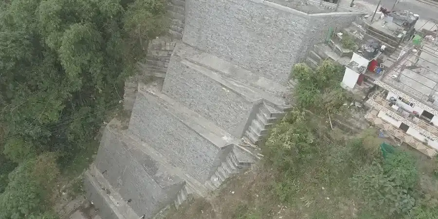
A 2D tomography line costs less than two additional boreholes and reveals the continuity of soft layers that point data will always miss.