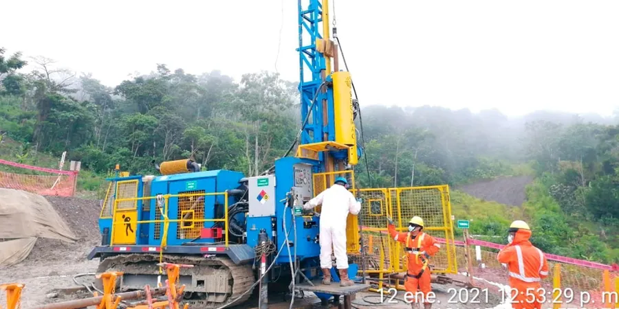
Christchurch's urban fabric, rebuilt with resilience after the 2010–2011 Canterbury earthquake sequence, rests on a complex alluvial puzzle. The shallow gravels, sands, and silts of the Waimakariri River fan dominate the subsurface, yet their permeability varies wildly from one terrace to the next. For any project involving basements, retaining structures, or stormwater infiltration — from the Innovation Precinct to residential zones in Riccarton — relying on textbook values invites costly surprises. A test pit program can visually log these fluvial layers, but it cannot quantify the hydraulic conductivity that governs seepage forces. We run the Lefranc test in saturated soils above the water table and the Lugeon test in fractured rock or weakly cemented gravels, delivering site-specific k-values that feed directly into dewatering design and long-term drainage strategy. Our Christchurch team brings this data together with CPT soundings for a complete stratigraphic and hydraulic profile.
A single Lugeon test in the Riccarton Gravel can reveal tenfold differences in hydraulic conductivity over two meters, making it non-negotiable for accurate dewatering design in Christchurch.